Tahoe Rim Trail 50-miler
July 16, 2005
The Tahoe Rim Trail 50 is, according to some reviewers, the toughest
50-miler in California and Nevada. That's probably true, but I doubt
you'll ever find a more scenic 50-miler. (OK, Bishop High Sierra and
Silver State are about equally tough.)
Tough? How about 10,000 feet of climbing and another 10,000 of
descending? Average elevation of 8,000 to 8,500 feet? It took me 13
hours, 3 1/2 hours longer than the American River 50. By mile 24, I
was ready to drop out at the next aid station at mile 26 (the only aid
station where my wife would be able to pick me up). By mile 25, I
began to think, yes, I'll drop out--IF I can make it that far!! But I
didn't drop out, and it only took a day of recovery before I realized
it was one of the best running experiences of my life.
Scenic? If you can't run this trail, I encourage you to hike it.
Here is the race website with the course map: http://www.tahoemtnmilers.org/trt50/index.html.
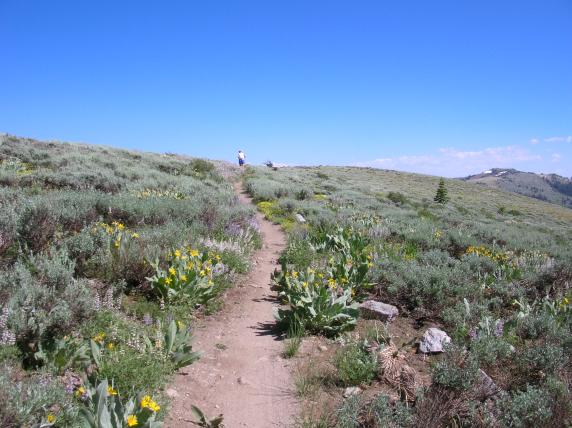
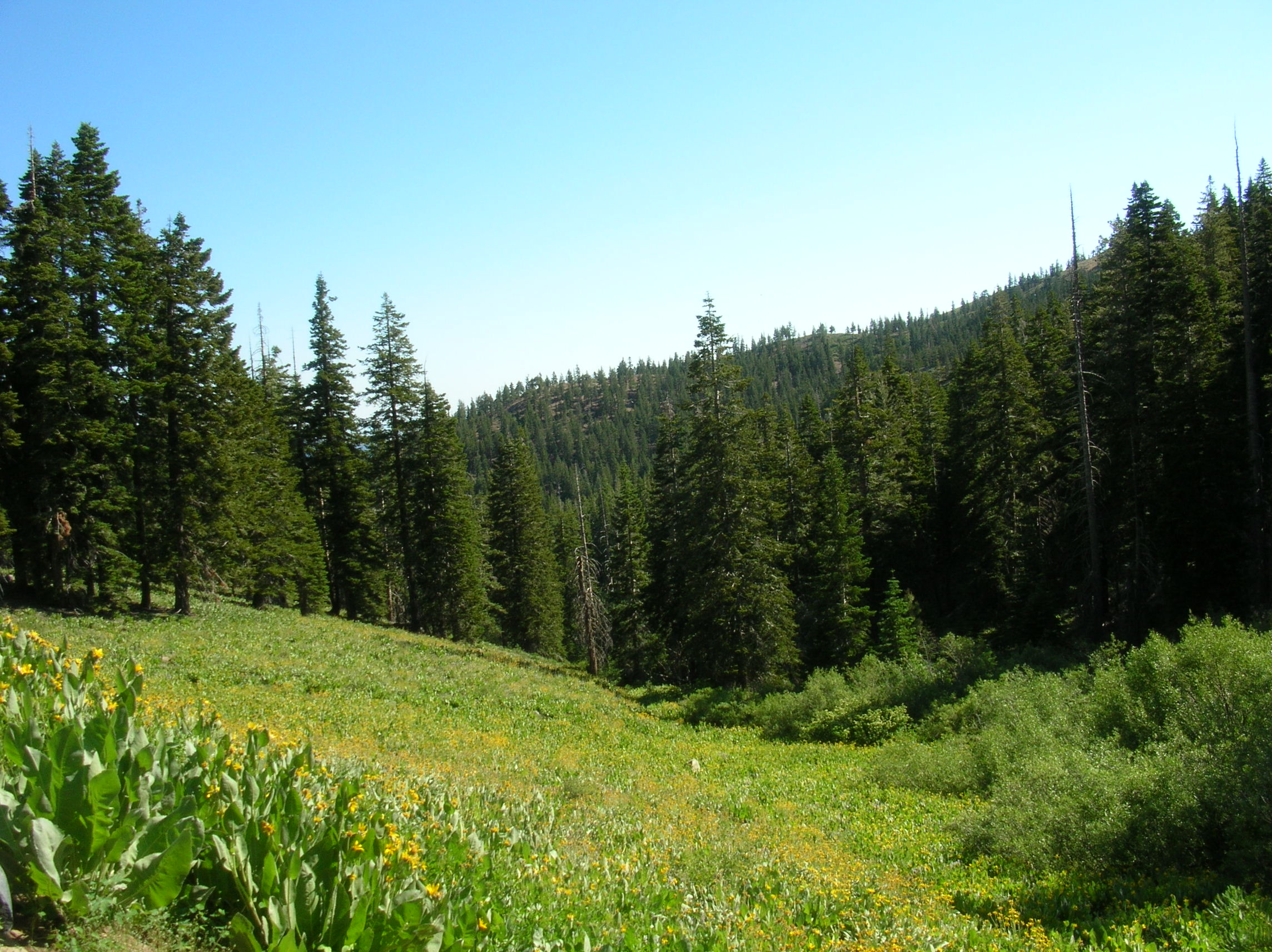
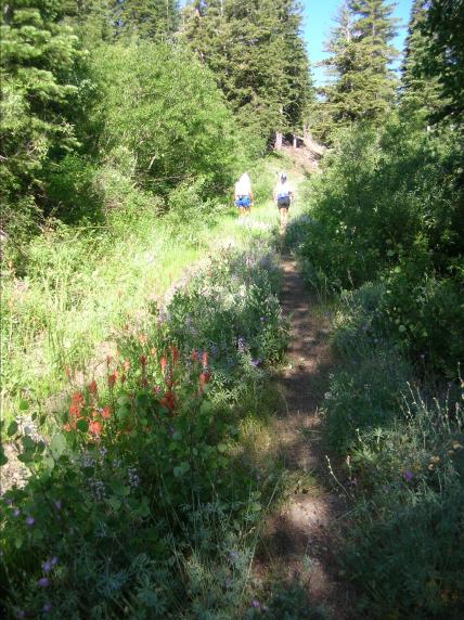
Mid-July seems to be a good time, with gorgeous wildflowers and just a
bit of snow left in a few places (though 2005 was an extra snowy
year).
Click on any picture to get the full-resolution version.
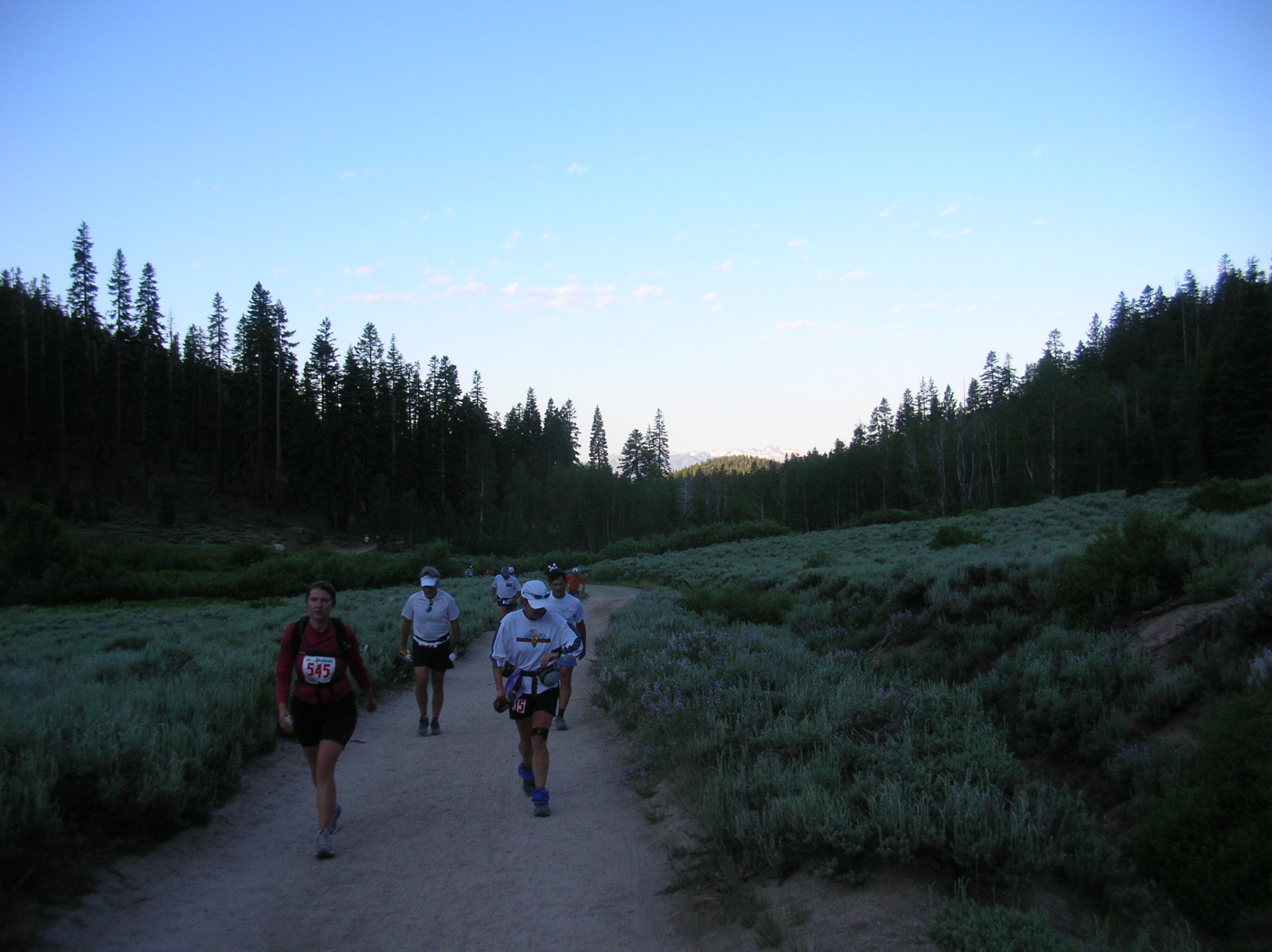
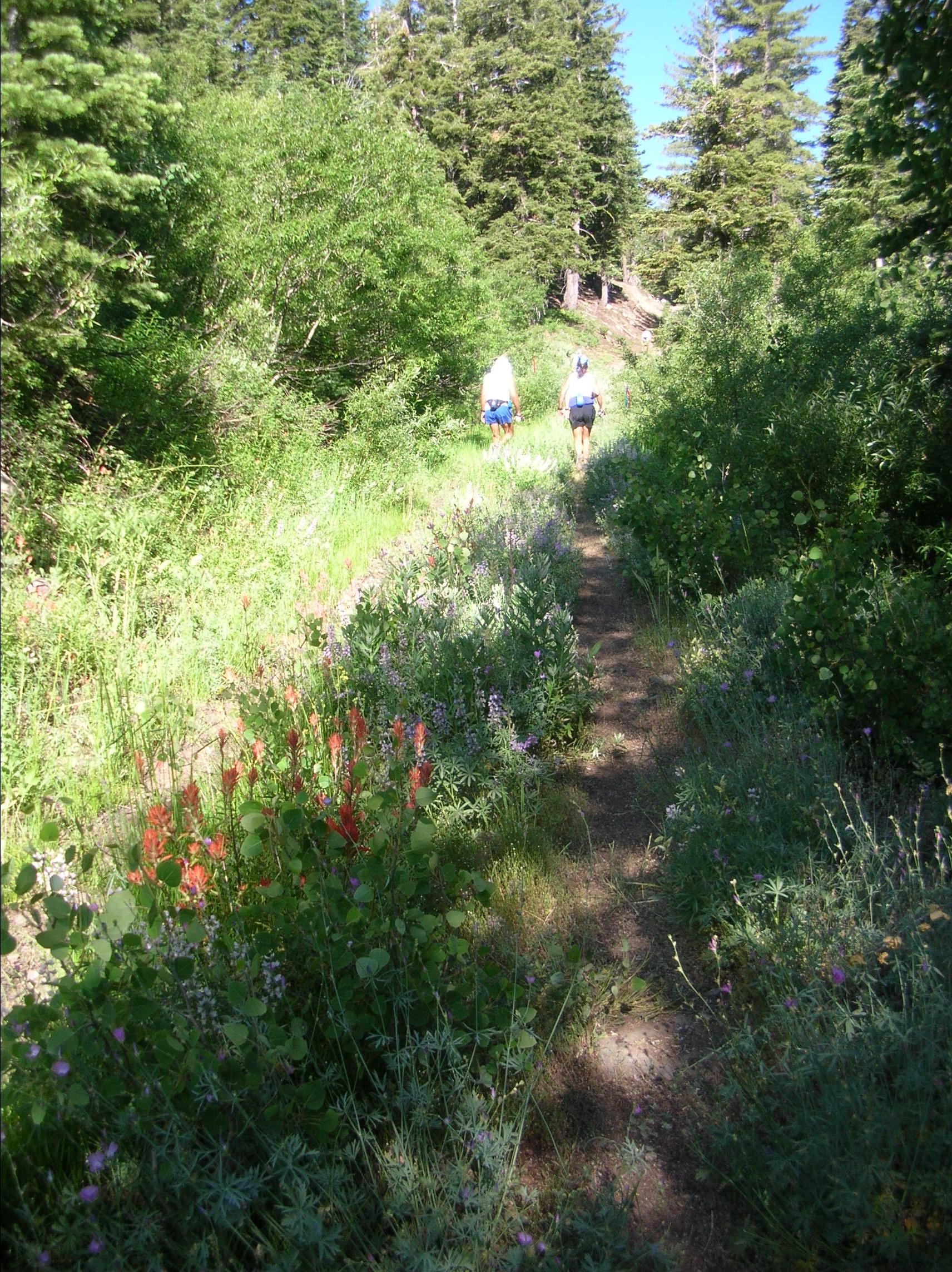
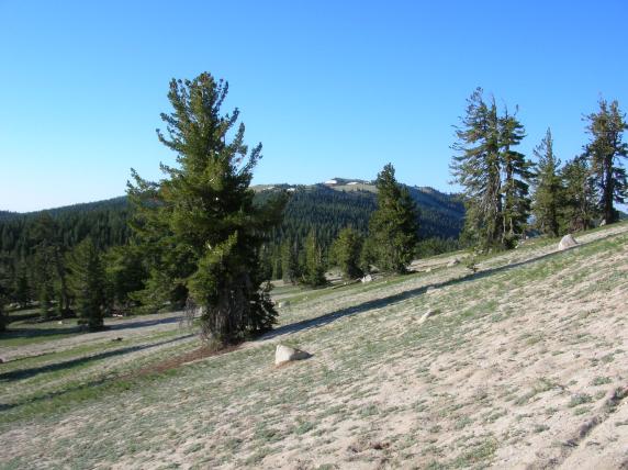
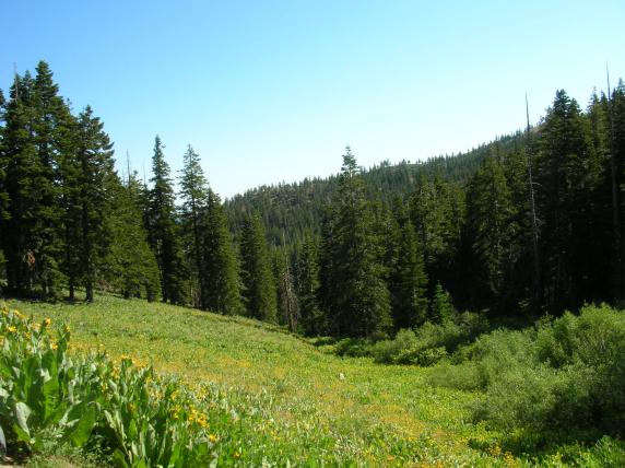
The first six miles: Spooner Lake to Hobart Road (1120' elevation gain).

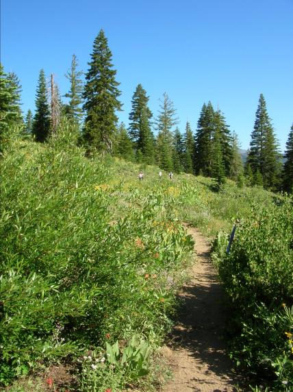
On the way to Marlette Lake.
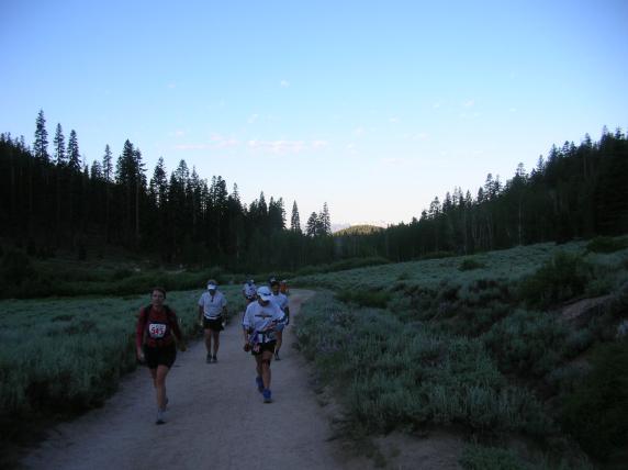
Looking back at sunrise hitting the far mountaintops.
First glimpse of Marlette Lake.
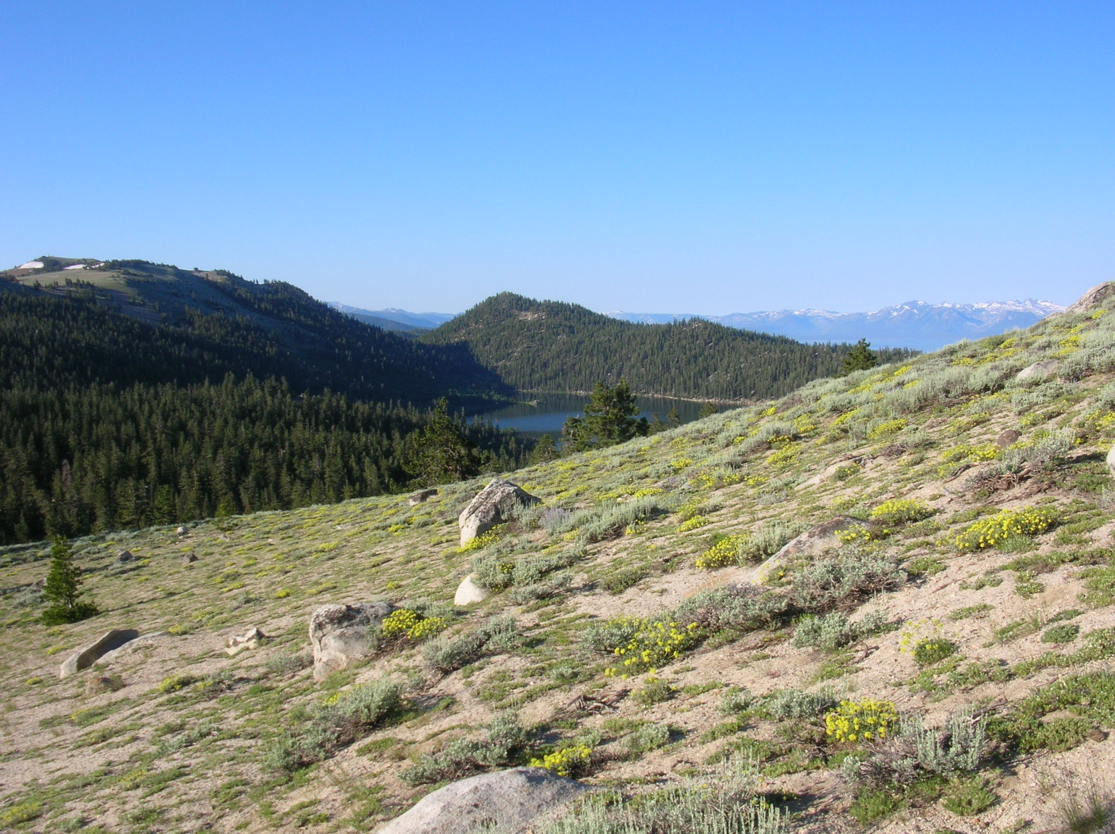
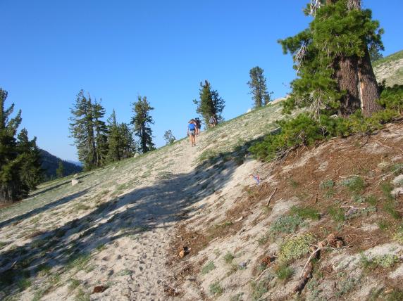
Miles 6 to 11: Hobart Road to Tunnel Creek
(300' net drop, but
with Marlette and Harlan Peaks in between).

The way up to Marlette Peak.

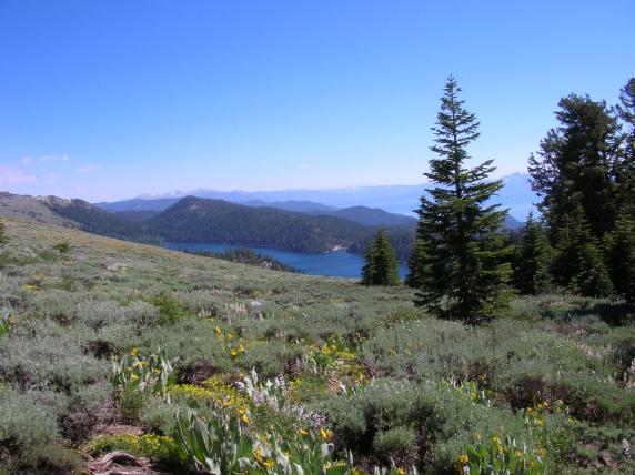
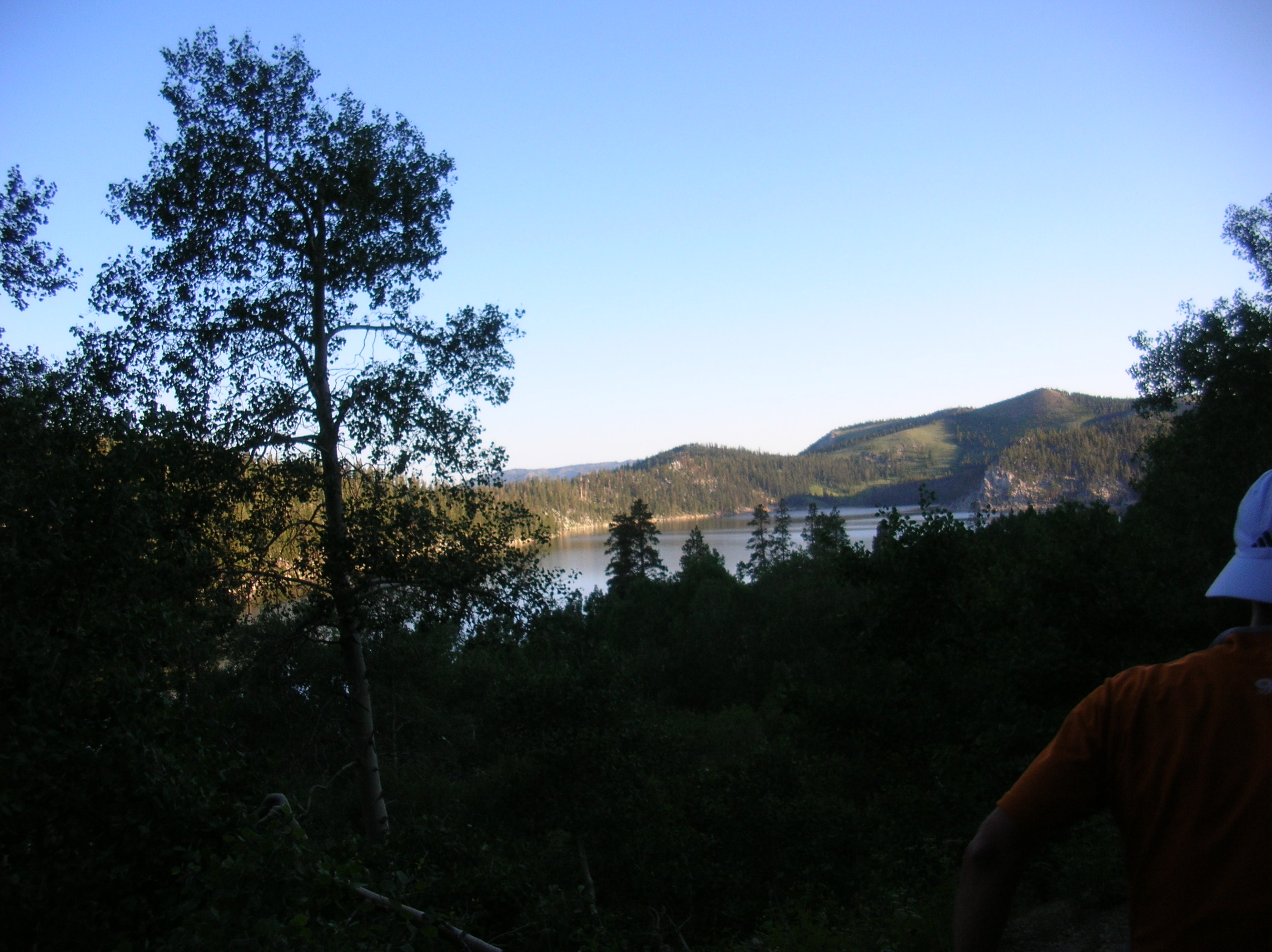
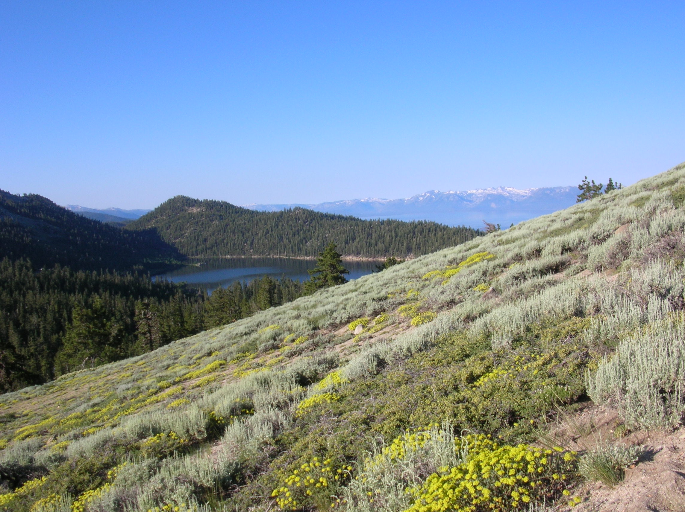
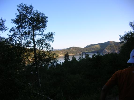
Marlette Lake seen from above.
We've come over that saddle on the far side of the lake.

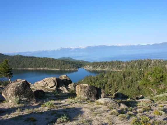
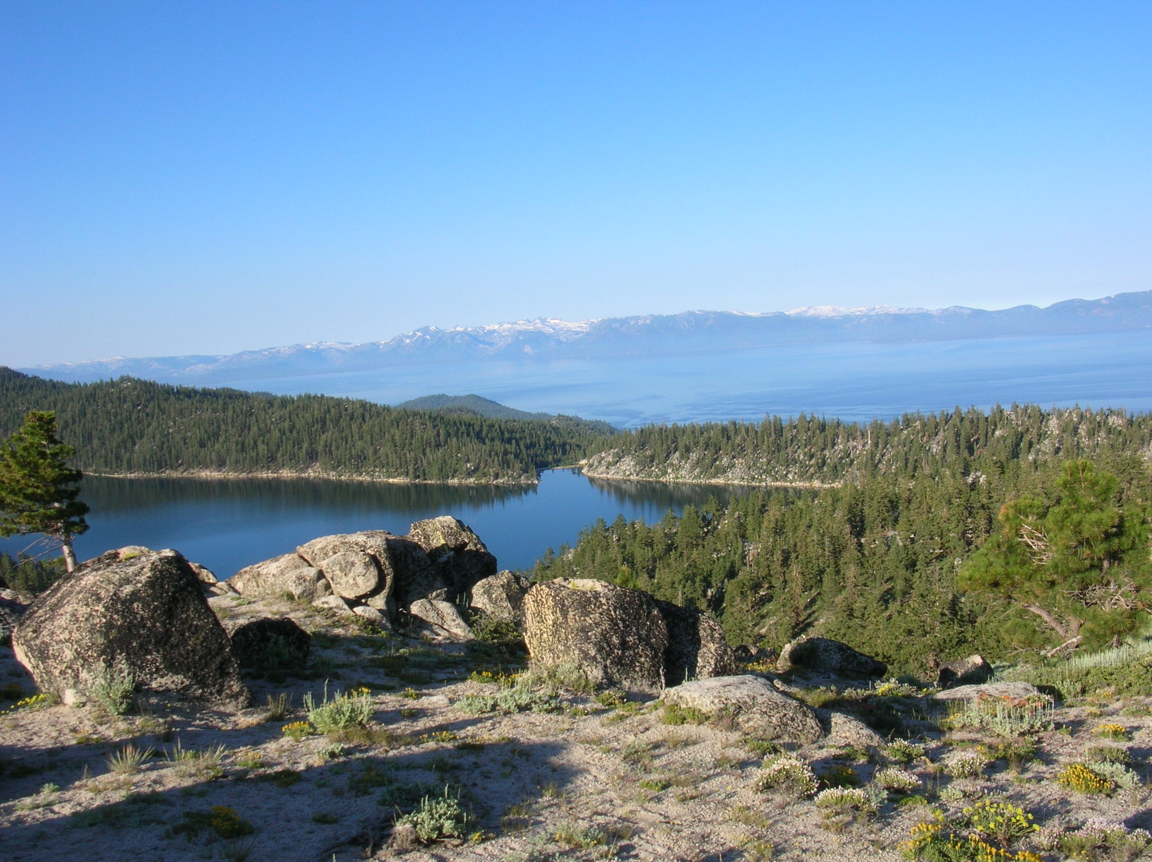
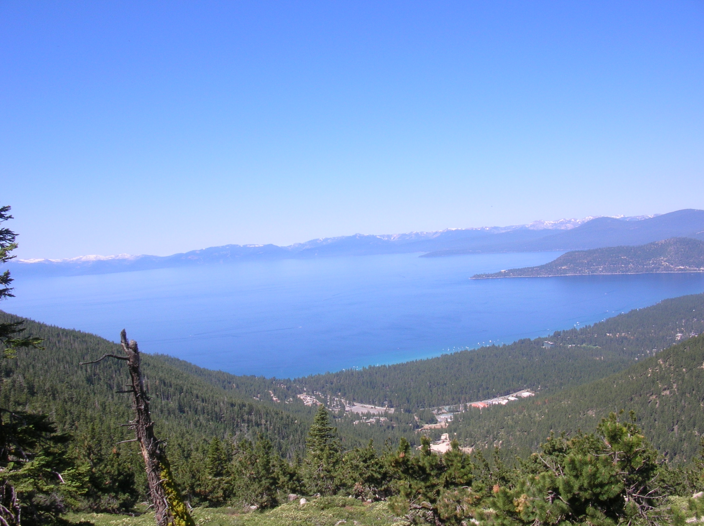
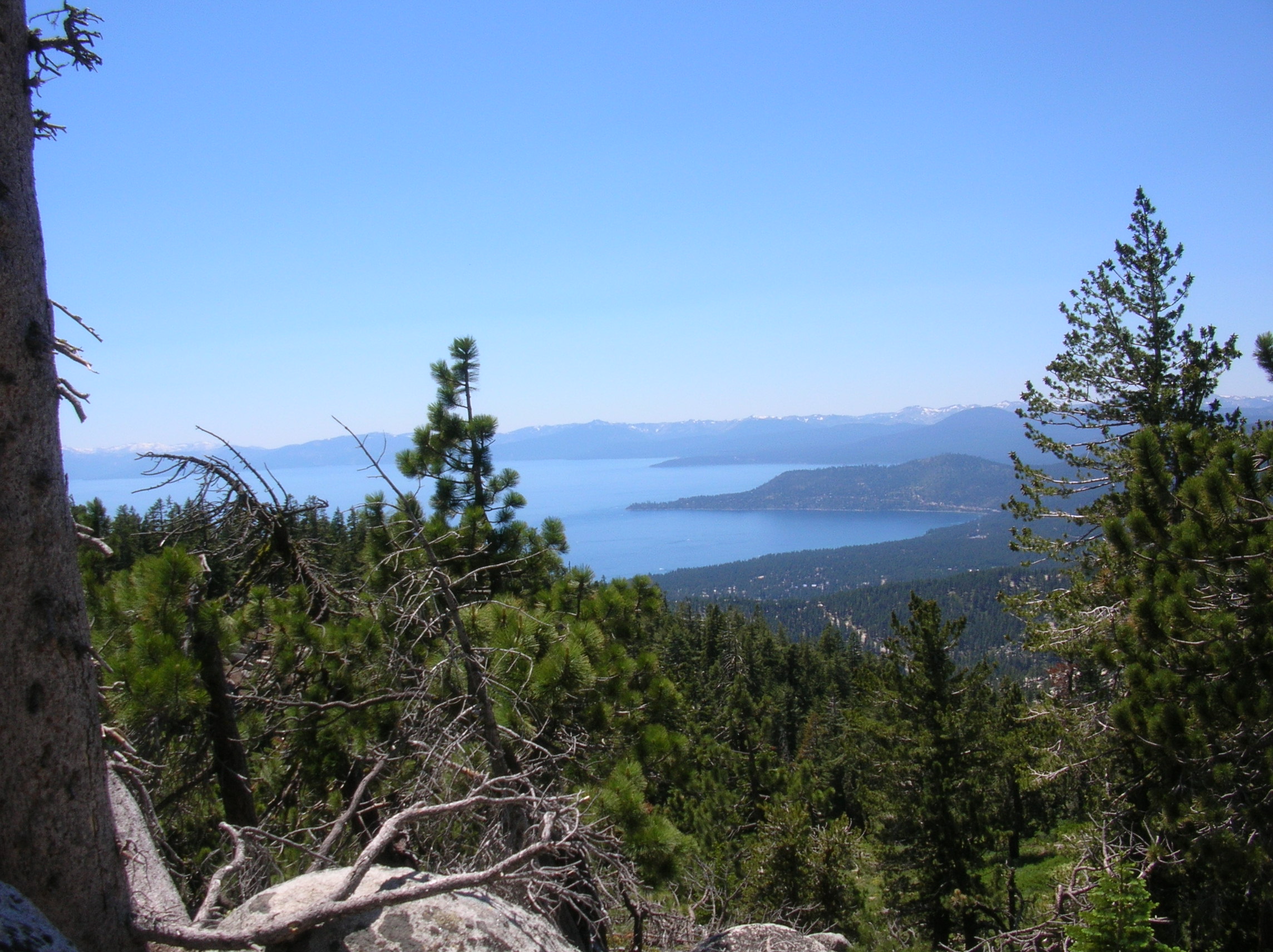
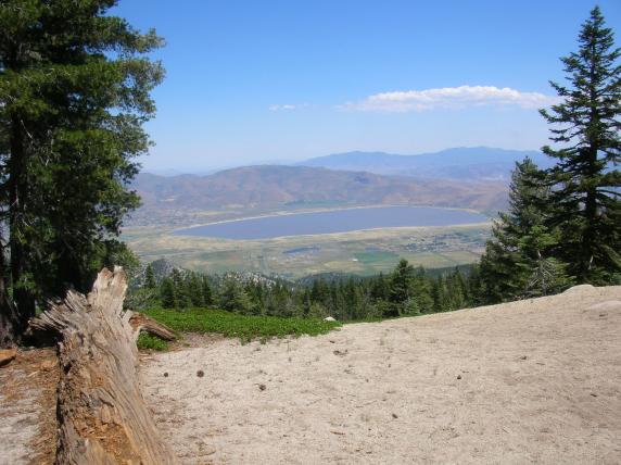
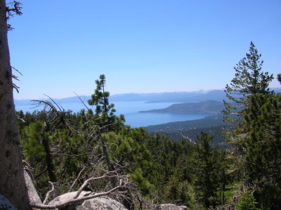
Marlette Lake, with
Lake Tahoe behind. Lake Tahoe is about 1000 feet lower than Marlette
Lake!
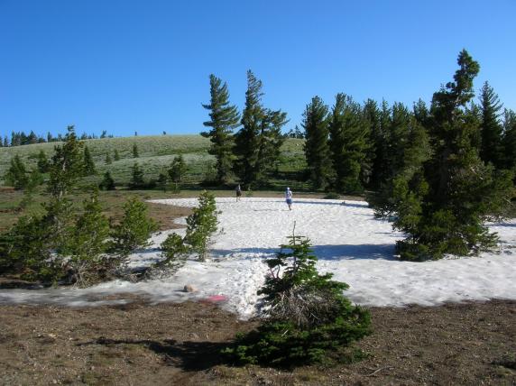
First patch of snow (the only one we really had to run through).
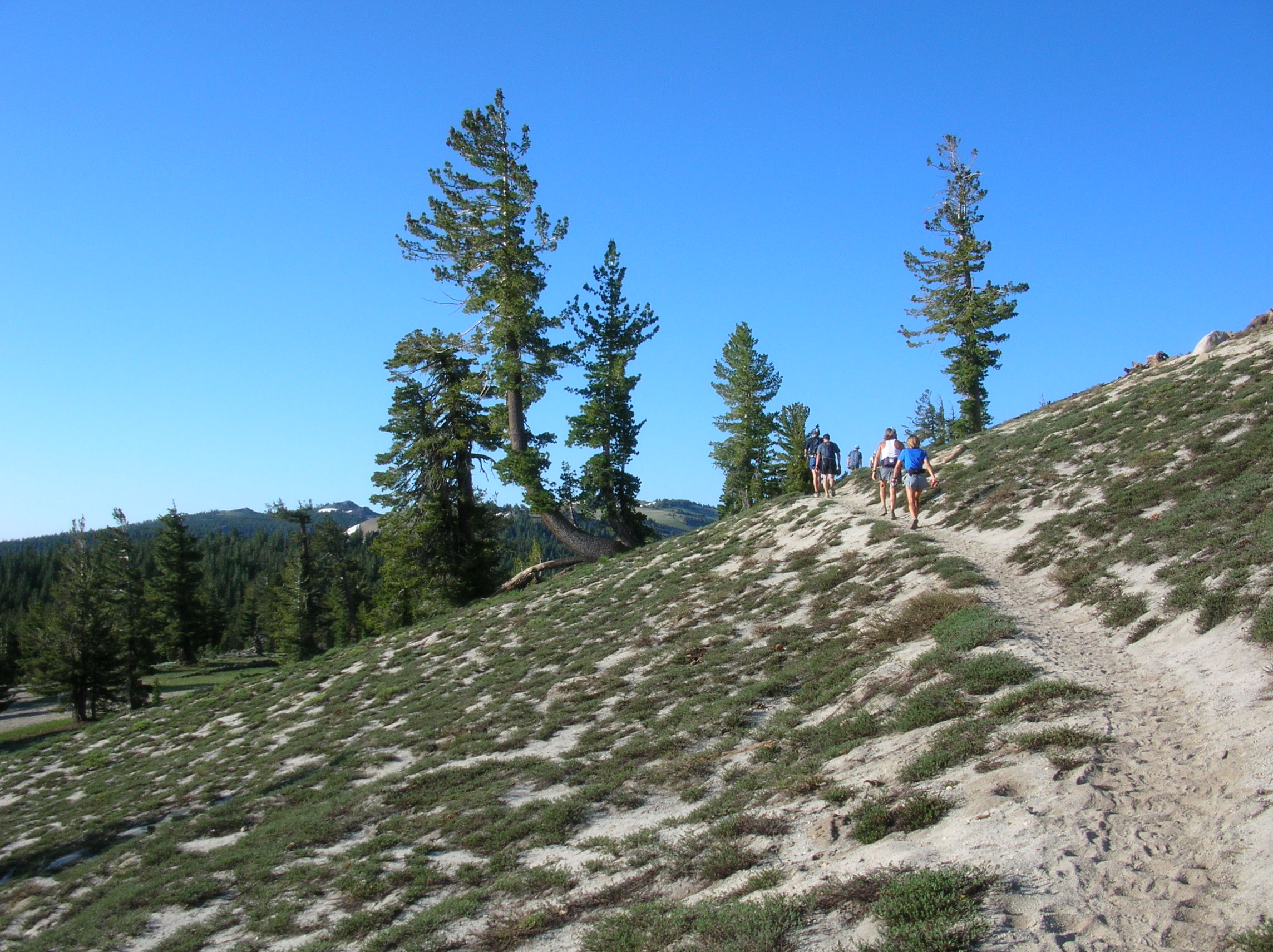
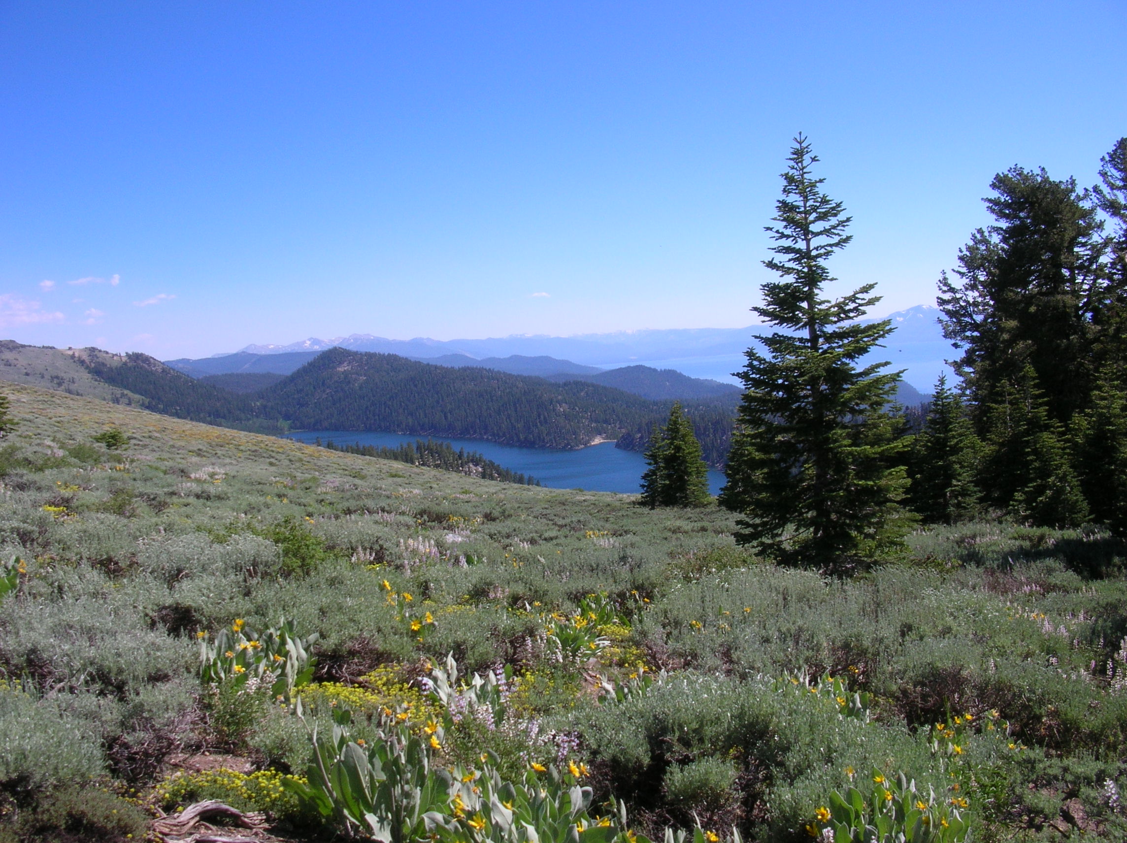
Miles 11 to 17.3: Red House Loop (1000' down, then 1000' up).
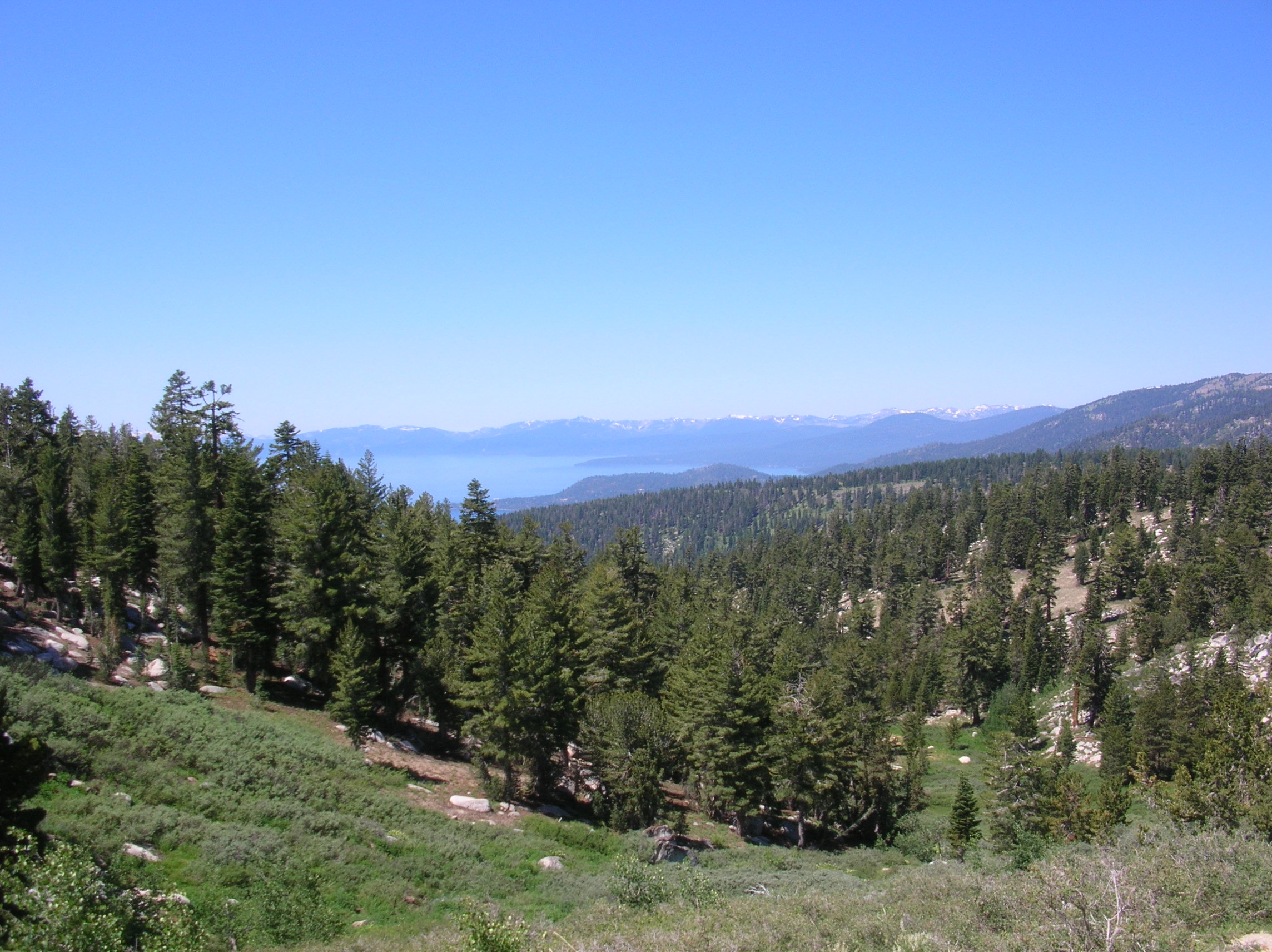
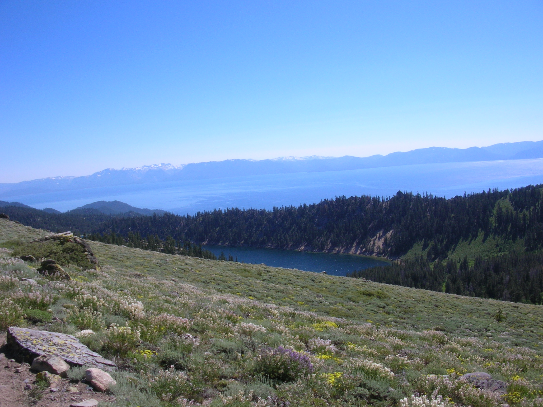
Miles 17.3 to 26: Tunnel Creek to Mt. Rose Trailhead, aka Tahoe
Meadows (940' net gain).
Looking to the right (east)
into Carson Valley (or is it Washoe Valley?).
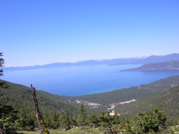
Incline Village is the near peninsula.

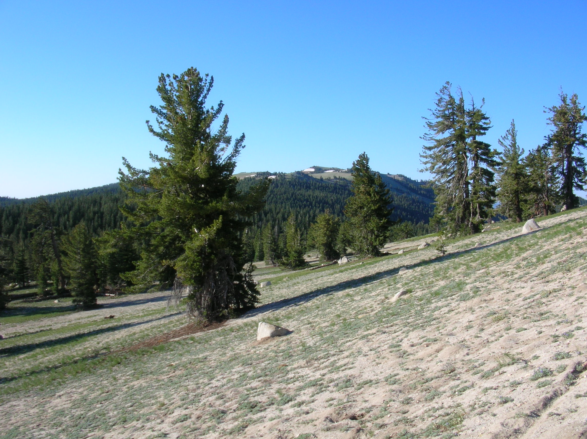
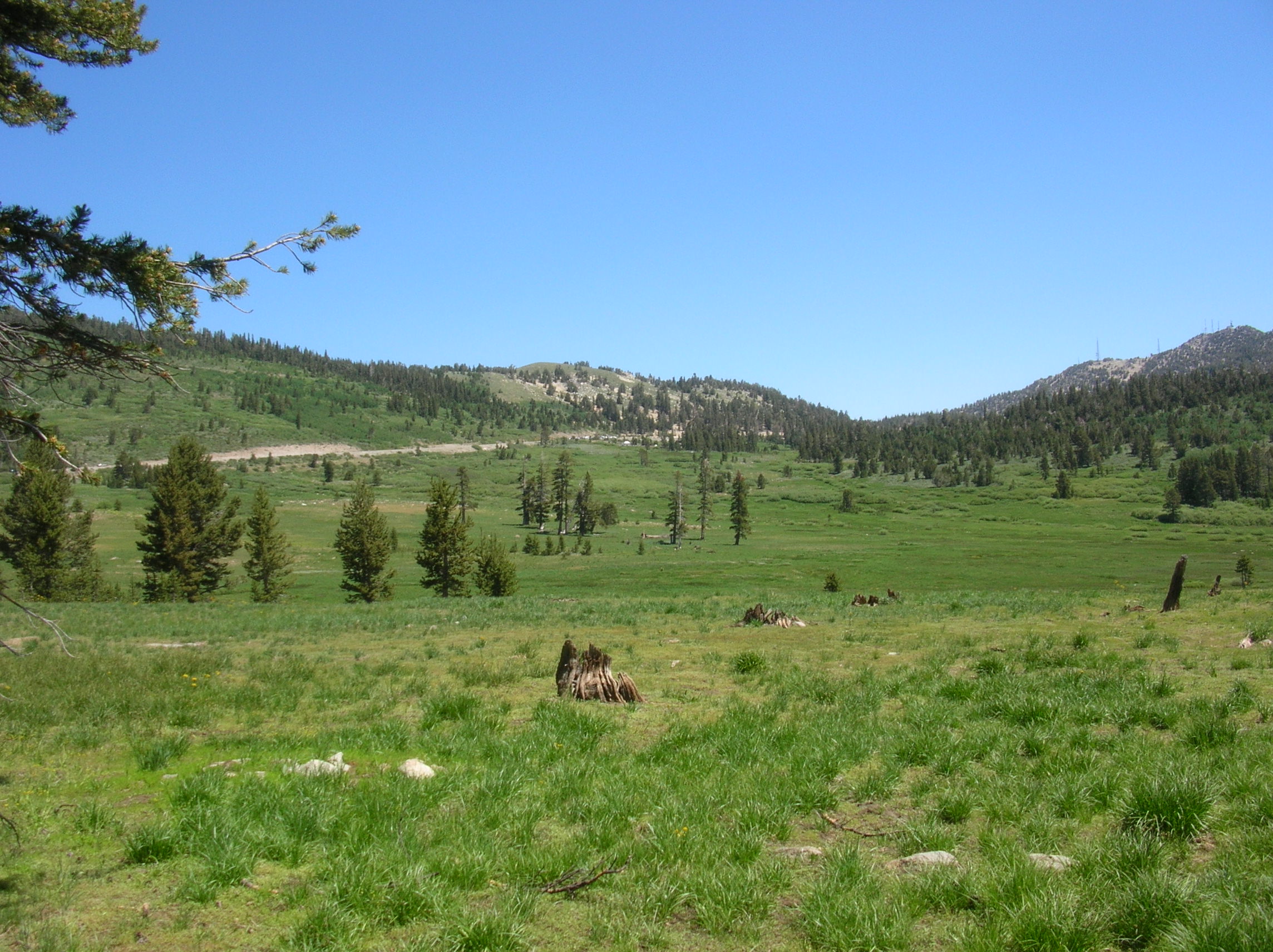
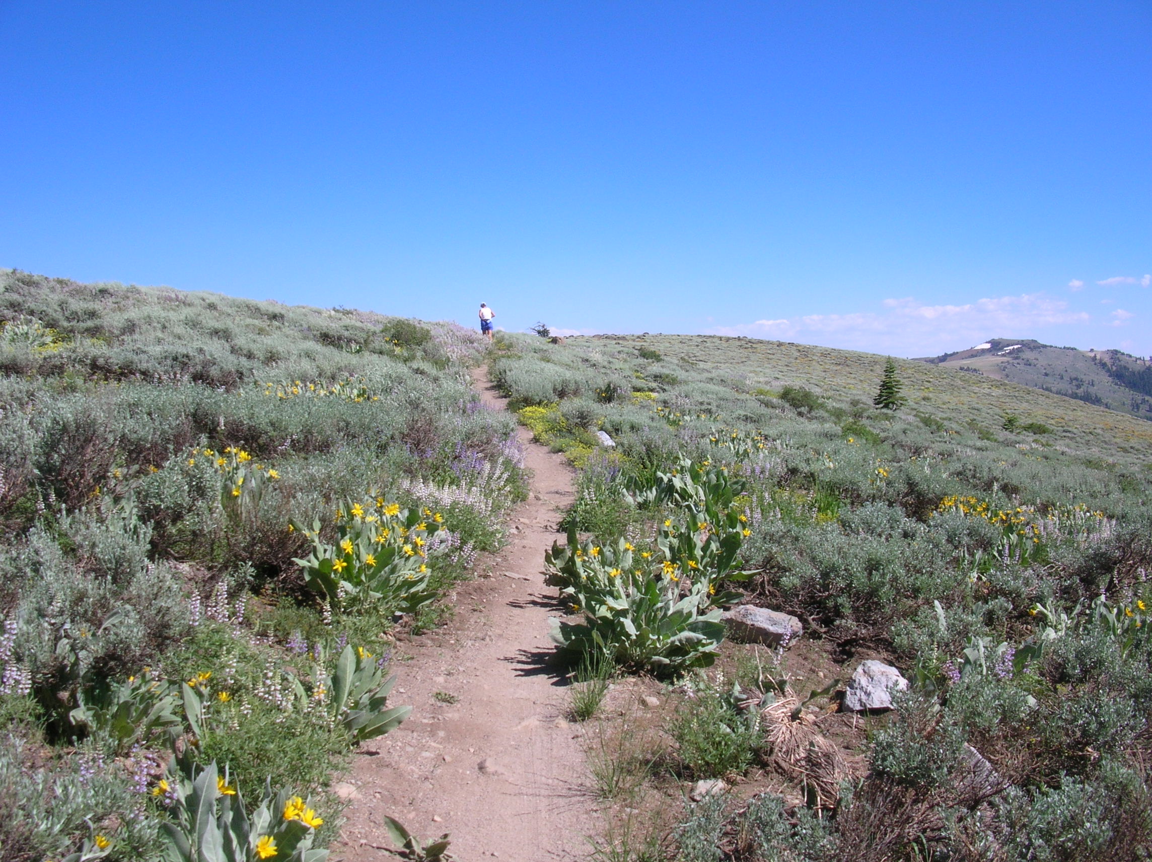
Moving away from the lake to the saddle at Tahoe Meadows and the halfway point.

Tahoe Meadows.
View of Incline Village on the way back.
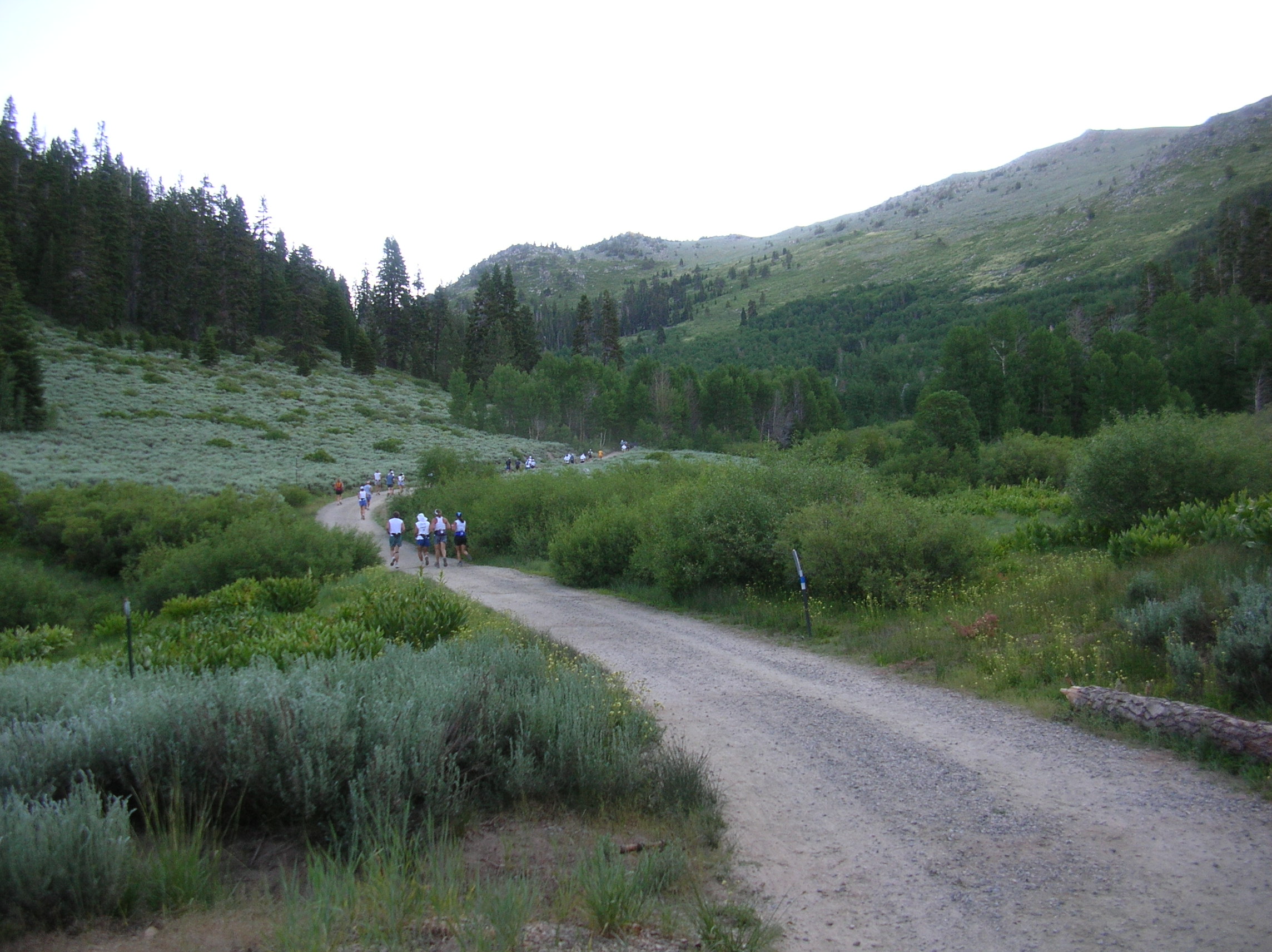
Miles 26 to 35: back to Tunnel Creek.